About Mapperley
The main part of Mapperley sits at a little over 400 feet above sea level and is the highest area in Nottingham. The land that became the present day Mapperley was originally part of Sherwood Forest. In the 18th and early 19th century, making the climb up to Mapperley was a popular way to escape the city some 3 miles away.
Nowadays the B684 (Woodborough Road) provides convenient access to the city centre. City Transport’s Sky Blue line serves the surrounding areas and Mapperley. The Lilac line provides access to Carlton and Gedling
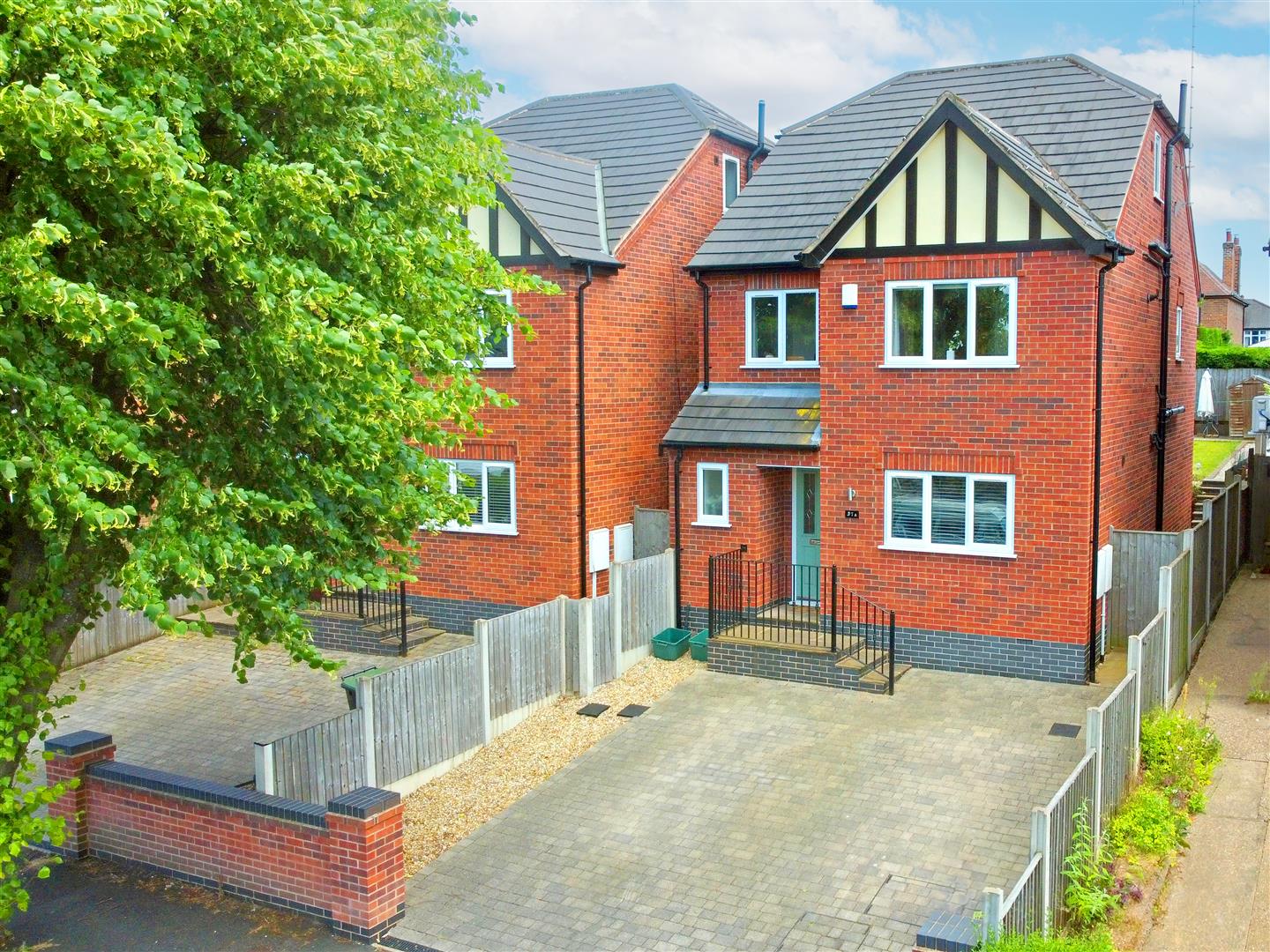
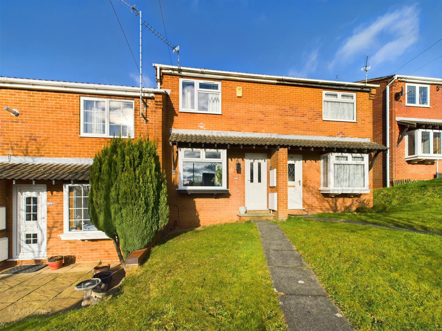
Mapperley is a popular residential and commercial area of north-eastern Nottingham due to its amenities which include schools, a gym and also a golf course with rolling fairways set in beautiful parkland. A large part of Mapperley was developed during the inter-war period creating a range of desirable housing suiting varying budgets.
The shopping area running along Woodborough Road is well known as Mapperley Top and boasts pubs, bars, independent retailers and cafes as well as a Co-op Supermarket and Sainsbury’s Local. It is also home to the Mapperley War Memorial which commemorates local men who died in both World Wars.